 
| Subject: | |
| From: | |
| Reply To: | Maps, Air Photo, GIS Forum - Map Librarianship |
| Date: | Mon, 25 Jun 2012 11:31:16 -0500 |
| Content-Type: | multipart/mixed |
| Parts/Attachments: |
|
|
-------- Original Message --------
Subject: Florida Property Appraiser Maps to Donate
Date: Mon, 25 Jun 2012 16:26:20 +0000
From: Farrington,Jennifer J <[log in to unmask]>
To: [log in to unmask] <[log in to unmask]>
CC: [log in to unmask] <[log in to unmask]>
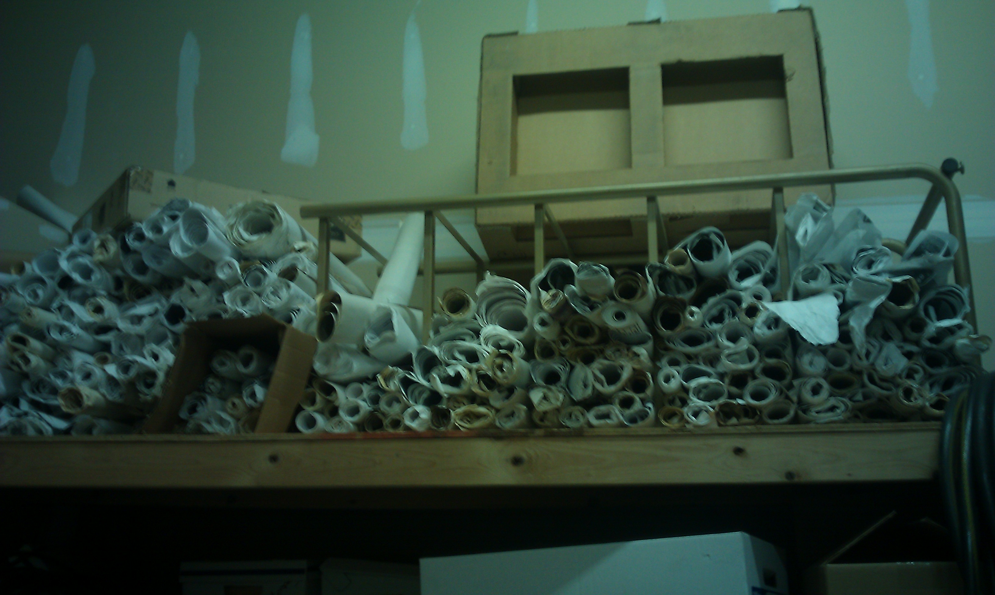
Florida Property Appraiser maps free to a good home. Collection consists
of hundreds (perhaps a thousand or more) of scrolls of aerial
photographs that are rolled up and labeled by Section, Township and
Range. Each roll consists of a minimum of four (4) 36" x 36" aerials
taken in different years. Most of them are scaled at about 1" = 2-300'.
It is likely that there are images from every county in Florida, but the
predominance will be Sarasota, Hillsborough, Pinellas, Collier, Lee,
Pasco, DeSoto, etc.
Please find attached a couple of photos showing an example of one and a
portion of the collection.
Contact Howard Rapaport [[log in to unmask]] directly if you are
interested or have questions.
|
|
|


