Dear colleagues,
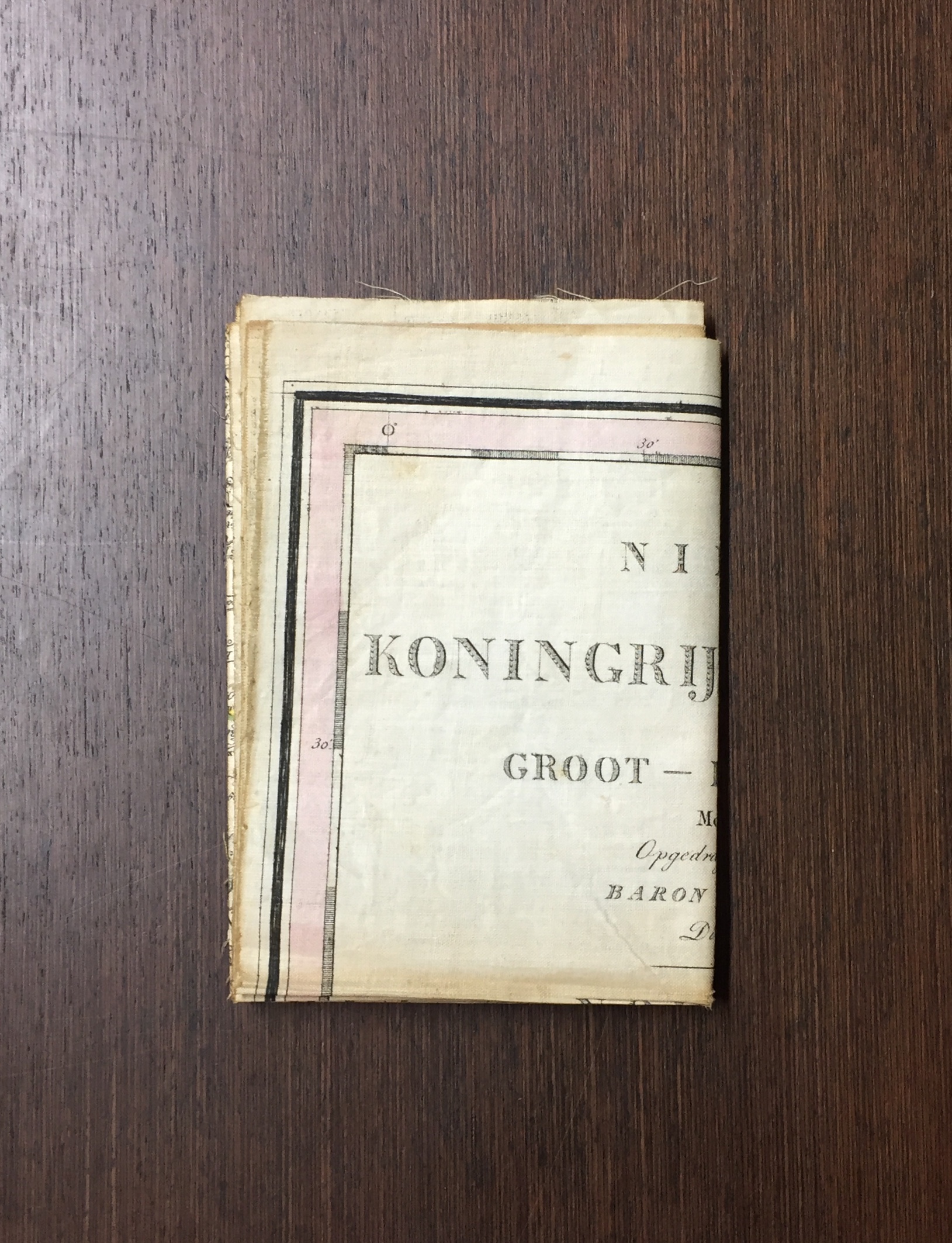
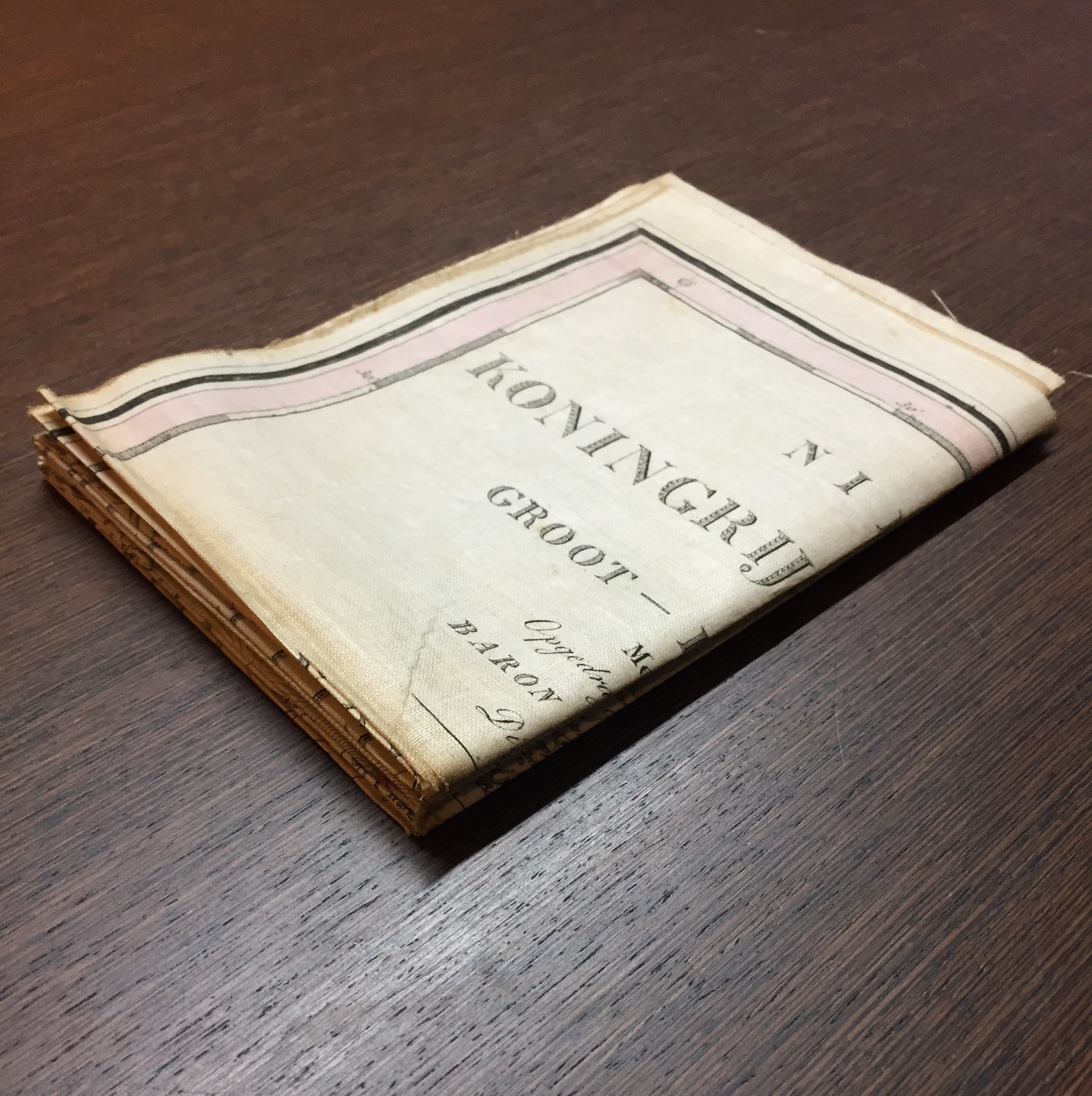
Two weeks ago we acquired a Dutch map by Weygand, printed on textile (linen) in 1831: see the images. The condition is relatively good. I wonder if any of you has any recommendations on the matter of storage: i.e. folded or unfolded?
Kind regards from the Netherlands,
Reinder
Reinder Storm | Cartography, Geography and Travel Curator
Special Collections - University of Amsterdam
Oude Turfmarkt 129, 1012 GC AMSTERDAM
P.O. Box 94436, 1090 GK AMSTERDAM NL
T +31(0)20 5252354, F +31 (0)20 5257301
E [log in to unmask]
Special Collections UvA:
http://www.bijzonderecollecties.uva.nl/en
Imagedatabase Maps and Atlases:
http://dpc.uba.uva.nl/kaartencollectie


