It
seems the map I purchased was taken from a book.I
contacted the seller for the book name, but he does not remember the name. Has anyone seen these maps in a book?
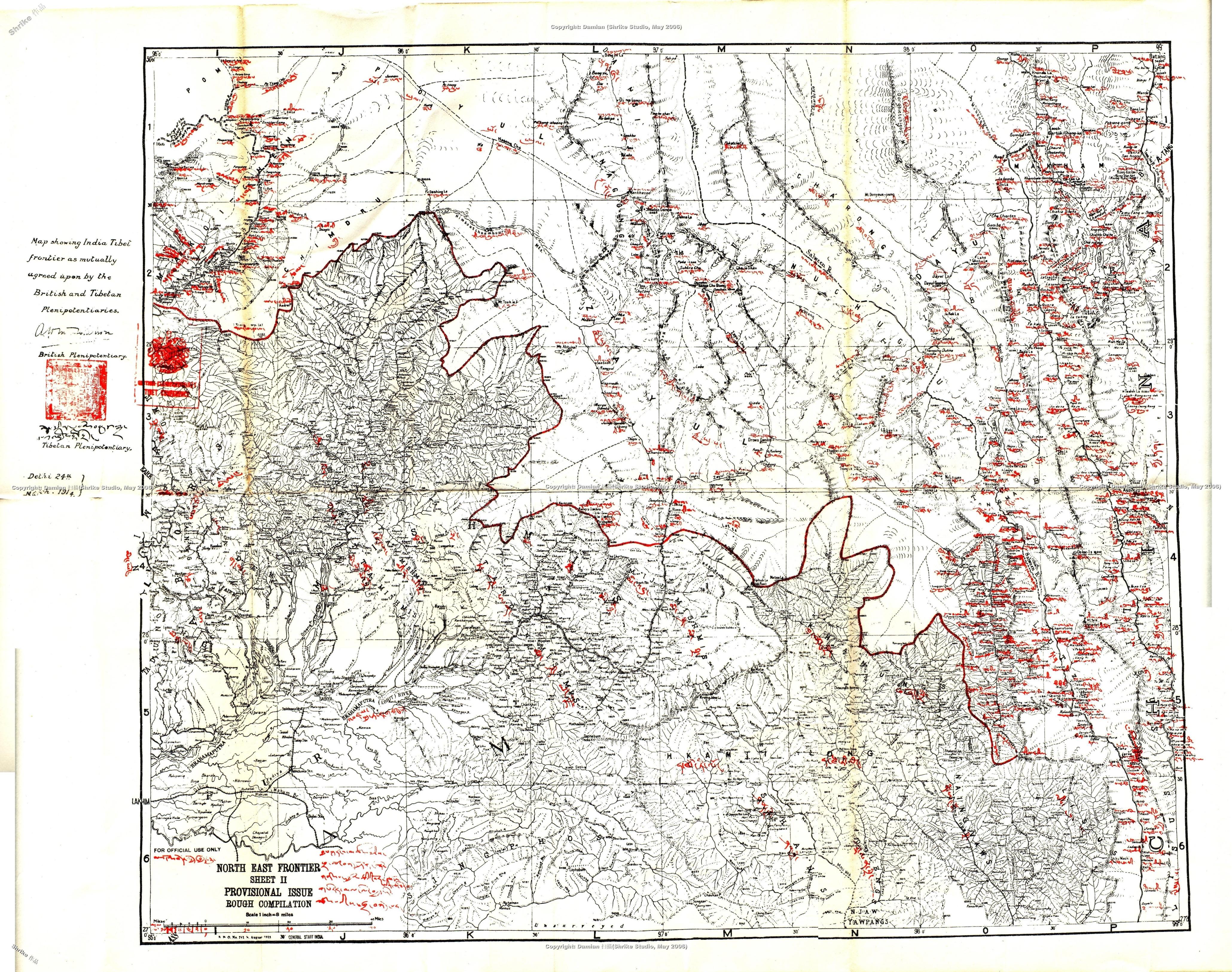
The maps used for defining the boundary were published by the Survey of India
on August 1913and
the scale of the maps is 1 inch to 8 miles, the names of the sheet are: North East Frontier Sheet I and Sheet II. Does
anyone have these maps in your collection? If you do, would you mind sharing a digital copy with me?