It’s one of my favorite illustrated maps in our collection.
I think the general shape of the crane matches Santa’s pose.
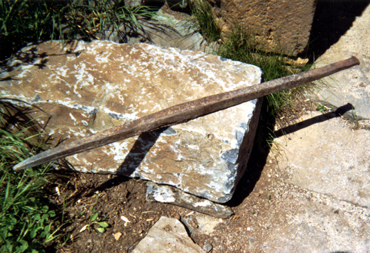
This is probably a long shot, but what if it represents the limestone quarry industry?? It would mean that Santa is not to scale, but it IS Santa, after all. Maybe it’s a toy quarry crane?
😊
The photos (specifically the 3rd one) here resemble the image somewhat:
https://www.indystar.com/picture-gallery/money/companies/2014/02/27/indiana-limestone-co-has-a-history-of-monumental-buildings/5840821/
And here:
https://quarriesandbeyond.org/states/in/in-photo_1b.html
Matthew Parsons, Associate Librarian
Geospatial Data and Maps Librarian
Subject Liaison for ESS, Atmos. Sci., Disability Studies
University of Washington Libraries
From: Maps-L: Map Librarians, etc. <[log in to unmask]>
On Behalf Of Christopher Thiry
Sent: Thursday, May 12, 2022 10:42 AM
To: [log in to unmask]
Subject: Identification of cartographic elements
I am doing research on some 1930s General Drafting maps featuring Santa Claus. Currently I am in the process of identifying and classifying each of the cartographic elements on the map. I am having a very difficult
time identifying and classifying 1 element and I have a question about another.
What is Santa doing with the 2 sticks in the left part of this image of Indiana?
There is a string attaching the 2 sticks at the top. He appears to be picking up 2 things & placing them in a box. I do not know what the things are.
Keep in mind that this from 1930
AND the activities on the map are tied to the places, so whatever Santa is doing, it is common enough in Indiana that people would know what it is.
The second part is the right part of the image. Clearly Santa is sitting at a desk on a stool. He is using a pen (inkwell on desk) to write with his right hand. But the red exclamation marks about the desk suggest
Santa is writing with anger or at least with strong words. Who is this an homage to? Was there in 1930 in Indiana a stern, forceful writer who was nationally know?
Academic Outreach Coordinator
p. 303-273-3697