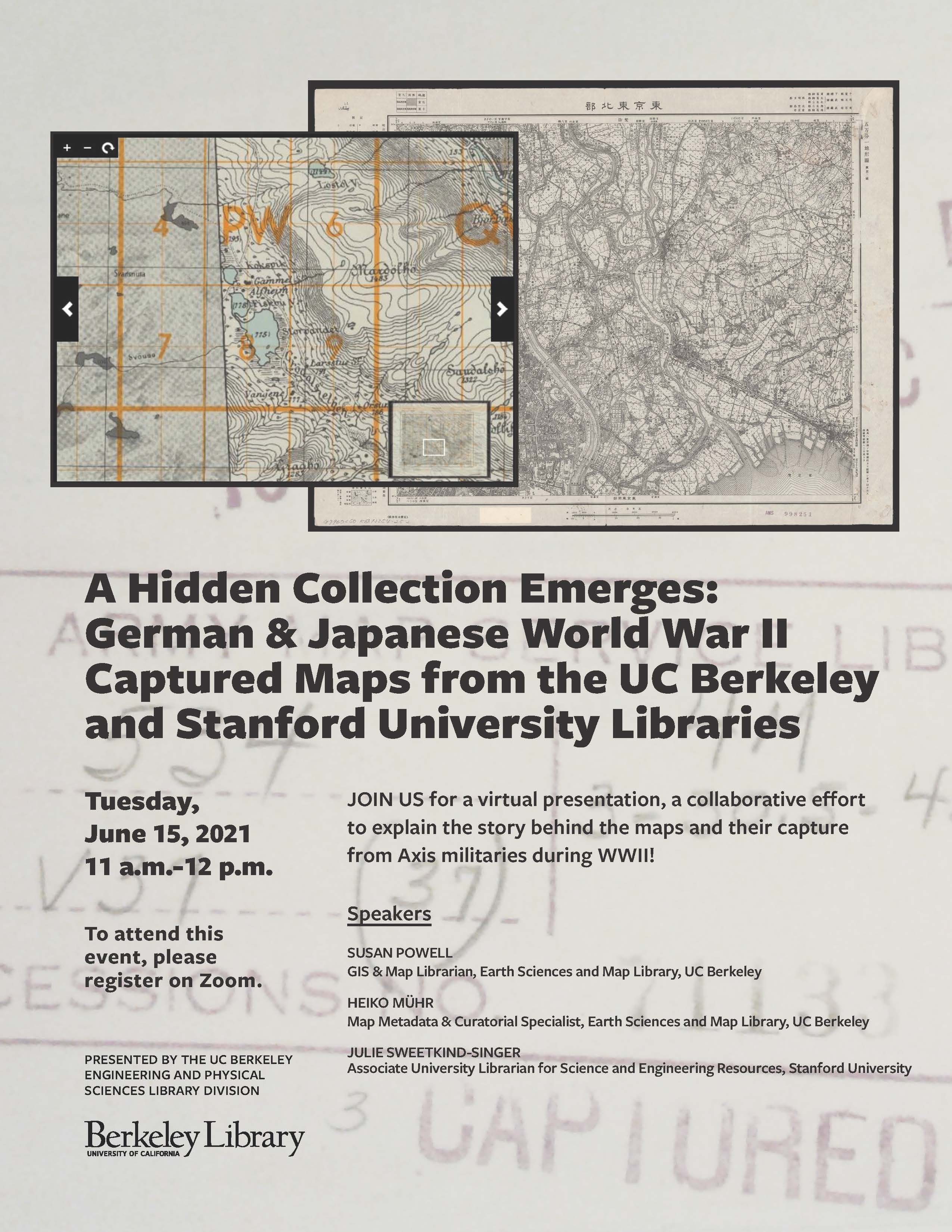
Registration is now open <https://bit.ly/3w2MZJW> for a virtual panel
presentation highlighting a collaborative effort to explain the story
behind the maps captured from axis militaries by the Americans during WWII!
Discover the similarities and differences between the collections and much
more! Presented by the UC Berkeley Engineering and Physical Sciences
Library Division.

*Event Information:*
*Date: *Tuesday, June 15
*Time: *11:00 am - 12:00 pm (Pacific Daylight Time)
*Register for the event:* https://bit.ly/3w2MZJW

*Speakers:*
SUSAN POWELL  --  GIS & Map Librarian, Earth Sciences and Map Library, UC
Berkeley
HEIKO MÜHR  --  Map Metadata & Curatorial Specialist, Earth Sciences and
Map Library, UC Berkeley
JULIE SWEETKIND-SINGER  --  Associate University Librarian for Science and
Engineering Resources, Stanford University

This event is free and open to the public.

The Library attempts to offer programs in accessible, barrier-free
settings. If you think you may require disability-related accommodations,
please contact us at [log in to unmask] within a minimum of 7-10
days in advance.

[image: 2021 Captured Maps flier.jpg]

Thank you!


--
Susan Powell
GIS & Map Librarian
UC Berkeley
[log in to unmask]
pronouns: she/her/hers


