?My answer to the first question seeking a concordance of changes to atlases between editions it to a) work with the publishers or b) sit down and compare the various editions. I am not aware of any source that tracks changes between editions.
My answer to the second question is to consult bibliographic records ( or even actual published items) and determine
an answer to this very subjective question
Ed Redmond
LC, G&M
________________________________
From: Maps-L: Map Librarians, etc. <[log in to unmask]> on behalf of LOUISE RATLIFF <[log in to unmask]>
Sent: Thursday, September 24, 2020 5:16 PM
To: [log in to unmask]
Subject: Re: Question about revisions to atlases
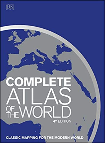
This atlas is nice, and small. May not contain as much detail as the larger atlases do, but it is okay for quick reference.
--Louise Ratliff
Complete Atlas of the World, 4th Edition: Classic Mapping for the Modern World 4th Edition
[image.png]
The DK atlas (Dorling-Kindersly) is:
*
Item Weight : 6.4 pounds
* Hardcover : 432 pages
* ISBN-13 : 978-1465486202
* ISBN-10 : 1465486208
* Product Dimensions : 10.75 x 1.38 x 14.69 inches
* Publisher : DK; 4th Edition (October 29, 2019)
On Thu, Sep 24, 2020 at 2:10 PM Mark Walker <[log in to unmask]<mailto:[log in to unmask]>> wrote:
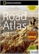
National Geographic makes a nice atlas for the United States:
Road Atlas 2021: Adventure Edition [United States, Canada, Mexico
ISBN 9780792289890
$24.95
[cid:174c1f626cb33dbe9f71]
from the publisher:
# # #
National Geographic's Road Atlas: Adventure Edition, is the ideal companion for the next time you hit the road. Includes up-to-date road maps for all 50 U.S. States, plus Canada, Mexico, and Puerto Rico. Major cities and metropolitan areas are shown in detail with inset maps that include popular attractions, infrastructure and points-of-interest.
Setting this atlas apart from all other road atlases are the inclusion of detailed maps and guidebook-like recommendations on the top 100 destinations for adventure, plus the top 24 most visited National Parks. An additional resources section provides contact information for local tourism offices, plus a place name index to help easily locate a specific city.
The Road Atlas: Adventure Edition is printed in North America and features a heavy duty spiral binding and clear plastic cover for durability and lay-flat reading.
# # #
As for the other questions: those particulars are best taken up with the publisher. They each have their own way of addressing updates. See what I did there?
I can supply the Road Atlas 2021 : Adventure Edition to libraries or the public. Libraries are welcome to email me a PO number and I'll get a copy shipped out.
Mark Walker
[log in to unmask]<mailto:[log in to unmask]>
World Map Source / Mexico Maps
3920 Maricopa Drive
Santa Barbara CA 93110-1414
805-448-7273 mobile
805-687-1011 office
On Sep 24, 2020, at 1:26 PM, Ilene Raynes <[log in to unmask]<mailto:[log in to unmask]>> wrote:
Hi all-
I have a question from a patron I'm hoping you can help with: The patron says he understands that with world atlases, as they publish new editions each year, the copyright date changes, but he wants to know WHAT changes are made yearly and at what level? So, for instance, country, city, national park names or their boundaries, new roads, railways...Are they updated?
And secondly, he's looking for a good world atlas, smaller than a coffee table book, but he doesn't like Rand McNally (!). Any suggestions?
I know these are kind of odd questions, but I told him I'd run it by the collective minds of many map librarians and see if we could get some answers. Thank you! You can respond directly to me, off-list, if you'd like!
Ilene
Ilene Raynes
Jerry Crail Johnson Earth Sciences & Map Library
University Libraries
University of Colorado Boulder
184 UCB
Boulder, CO 80309
[log in to unmask]<mailto:[log in to unmask]>
|


