MAPS-L Archives

Maps-L: Map Librarians, etc.

MAPS-L@LISTSERV.UGA.EDU

Options: Use Forum View

Use Monospaced Font
Show HTML Part by Default
Show All Mail Headers

Message: [<< First] [< Prev] [Next >] [Last >>]
Topic: [<< First] [< Prev] [Next >] [Last >>]
Author: [<< First] [< Prev] [Next >] [Last >>]

Print Reply
Subject:
From:
Jim Caruth <[log in to unmask]>
Reply To:
Date:
Mon, 7 Jan 2019 13:15:40 +0000
Content-Type:
multipart/related
Parts/Attachments:
text/plain (2 MB) , text/html (2 MB) , image.png (2 MB)
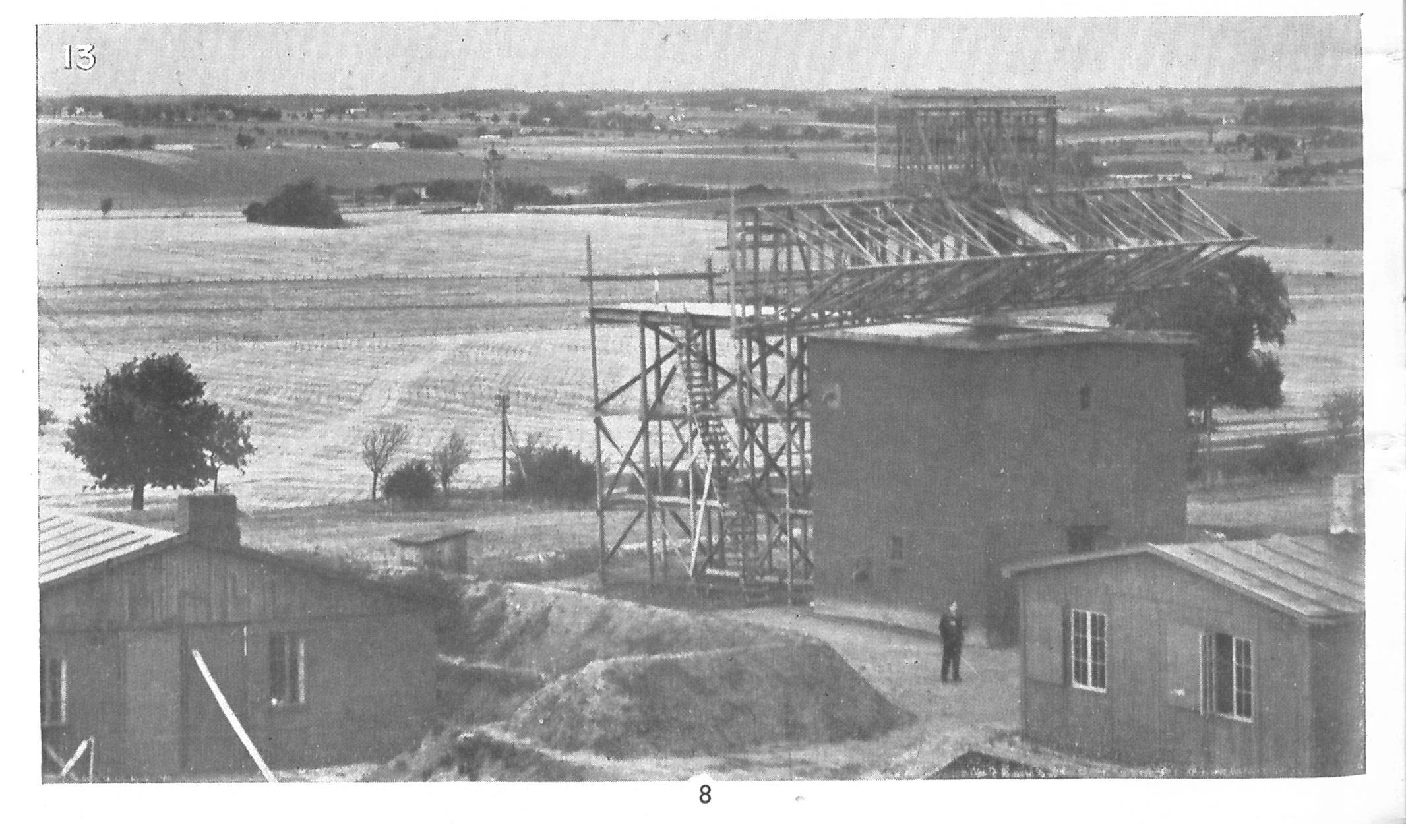
Those who doubt that  reconnaissance aerial photography was taken from as
low as 25 feet should look at the images in *Evidence in Camers, Special
Edition on Photographic Reconnaissance and Photographic Intelligence *published
by the(UK) Air Ministry, March 1945 (Reprinted by the GeoInformation Group,
2003).

For example the photograph on page 8 of a radar antenna  in Denmark

Jim Caruth
Lead Curator, Modern Mapping
The British Library

[image: image.png]


ATOM RSS1 RSS2