 
| Subject: | |
| From: | |
| Reply To: | Maps-L: Map Librarians, etc. |
| Date: | Fri, 14 Feb 2020 15:30:55 +0000 |
| Content-Type: | multipart/related |
| Parts/Attachments: |
|
|
All,
You might have seen my message earlier this week for "Time Machine Available!!" It was my lame attempt at click-bait.
I have created a FREE, online tutorial for aerial photographs. The stated goal of the tutorial is teach people a "basic understanding of how to use and interpret historical aerial photographs (air photos)." https://mines.libwizard.com/f/airphotos
The tutorial is designed to be used by college students and adults who interested in learning things. While containing many interesting images, it is not a site merely for pretty pictures. This is a serious endeavor meant to teach people things.
My hope is that professors will use the tutorial in classes (for credit or extra credit).
The tutorial starts with text, an agreement to participate in a study, and a pre-test. It ends with 12, ever increasing in difficulty, quizzes. The introductory text takes about 30 minutes to read, and quizzes take an additional 30-45 minutes.
Set up regarding the quizzes:
"You will be shown a recent aerial photograph of a place in Colorado, and an additional group of photos.
From the group of photos, chose the 4 older photographs that cover the same area as the recent photo, and put them in chronological order.
All dates on the photos are withheld purposely so as to make the quizzes more challenging.
After choosing the 4 photographs, you will also be asked the following questions:
* What is the main feature of this photographic sequence?
* What differences do you see between the photographs?
* What are your guesses for why things look different? List as many as possible. NO guess is wrong.
* What information is difficult to determine by examining only these aerial photographs?
* What resources or contacts would you use to get additional information about the location depicted in these photographs?"
A few notes on the tutorial:
* I got clearance from Mines to collect data from human subjects, hence the participation agreement for the study. It is possible to take the tutorial and quizzes without agreeing to participate in the study--merely a matter of hitting the button at the bottom of the agreement page.
* I hope to use data from people's answers to understand if this tutorial is effective.
* I used over 220 images.
* Almost all the photographs are from our collection & cover parts of Colorado
* The tutorial is best viewed on a pc with 2 monitors
* I made the tutorial using LibWizard (a Springshare product which is an add on to LibGuides)
* I worked on the tutorial for about a year (with long breaks).
The most difficult parts of making this:
* The common problem with teaching--I know this stuff but how do I convey my knowledge to others?
* Being precise with my words
* Finding interesting examples
PLEASE distribute this tutorial widely! My hope is that it can be a useful resource to anyone.
I welcome questions or comments on the tutorial.
Happy to send you the flyer for the tutorial. At the very bottom is my click-bait prose.
Christopher J.J. Thiry
Map & GIS Librarian
Academic Outreach Coordinator
Colorado School of Mines
Arthur Lakes Library
1400 Illinois
Golden, CO 80401
p. 303-273-3697
f. 303-273-3199
[log in to unmask]<mailto:[log in to unmask]>
http://www.mines.edu/library/
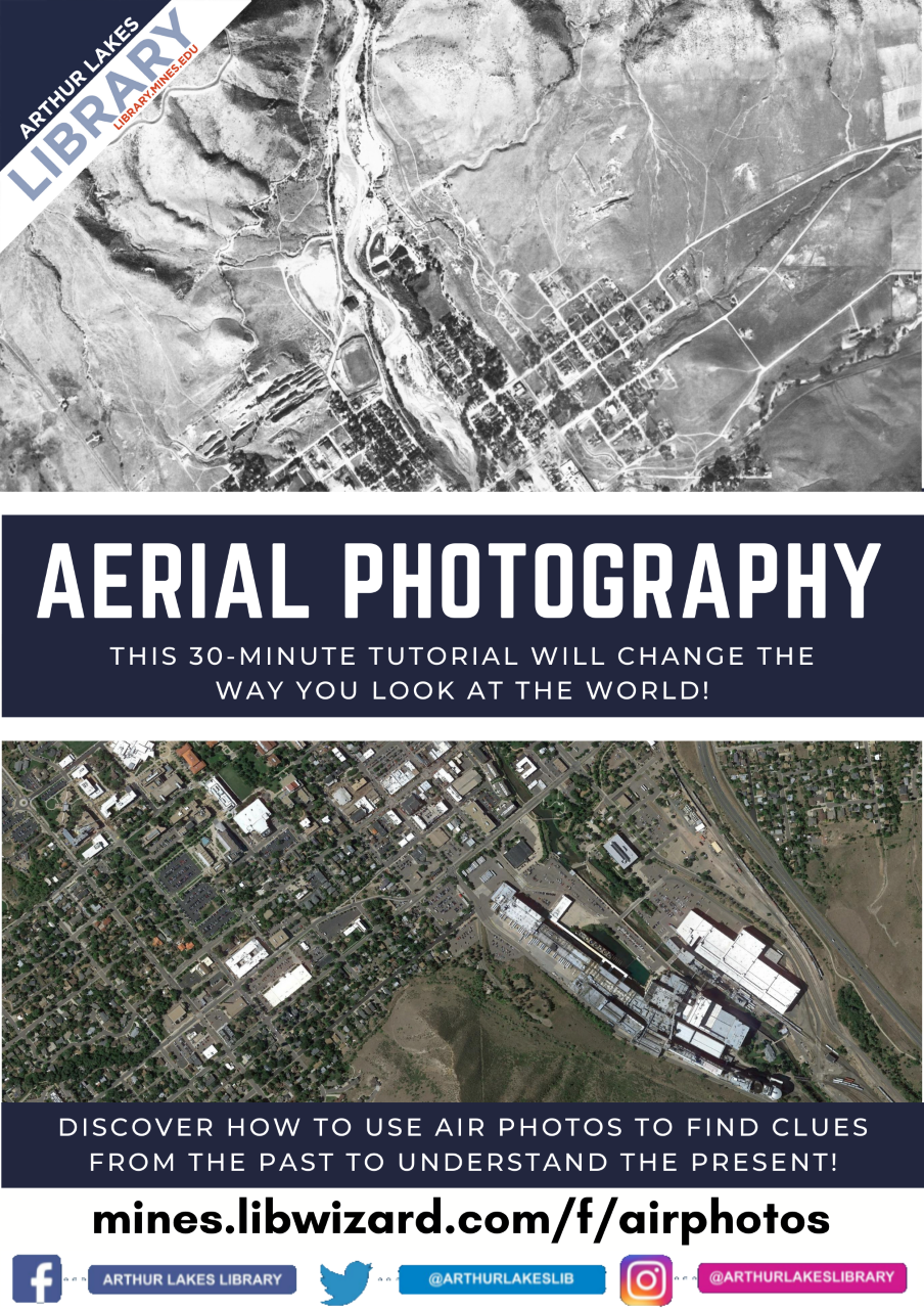
Time Machine Available!
Historic Aerial Photography
See the world as it was!
Discover how to use air photos to find clues from the past to understand the present.
This FREE 30-minute tutorial will change the way you look at the world.
https://mines.libwizard.com/f/airphotos
Love puzzles & want a challenge? — Take our 12 quizzes!
Already know a lot about aerial photographs? PROVE IT by taking the quizzes.
[cid:6d084018-232b-41ae-a355-910721878d21]
|
|
|


